


Happy Recognitions
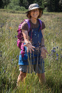
A conversation with Cindy Talbott Roché — Botanist, Illustrator and Author — Bend, OR
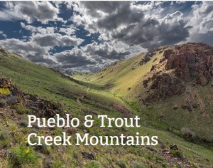
Listening to the Landscape
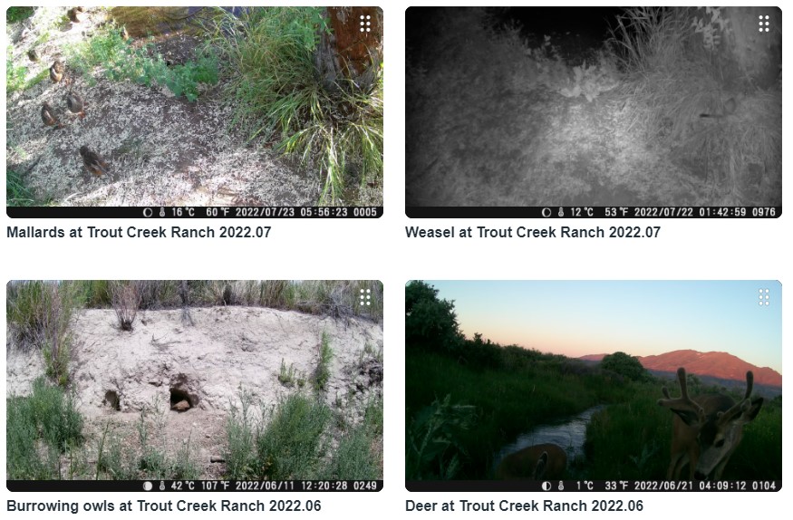
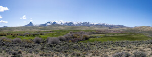
We've made way for restoration at Trout Creek Ranch.
Desert Duet
A conversation with SageCon Coordinator Rachael Davee & Oregon Department of Fish & Wildlife Biologist Andrew Walch — Redmond, OR
Be the Mountain
A conversation with Jenner & Harland Yriarte — Steens Mountain High Altitude Running Camp Organizers — Frenchglen, OR
A Summer to Remember
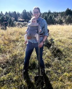
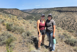
College interns were a huge help over the summer.
A Range of Change
Trout Creek Ranch updates help conservation and community.
Grouse Count
We've joined in state surveys of greater sage-grouse.
Reaching for new heights in conservation
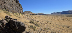
Together, we can conserve Disaster Peak Ranch!
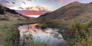
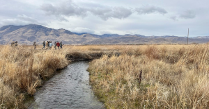
Going with the flow
We're restoring a creek to help fish and wildlife.
A land of learning
Local Tribal members shared stewardship practices to inspire youth.
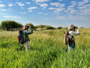
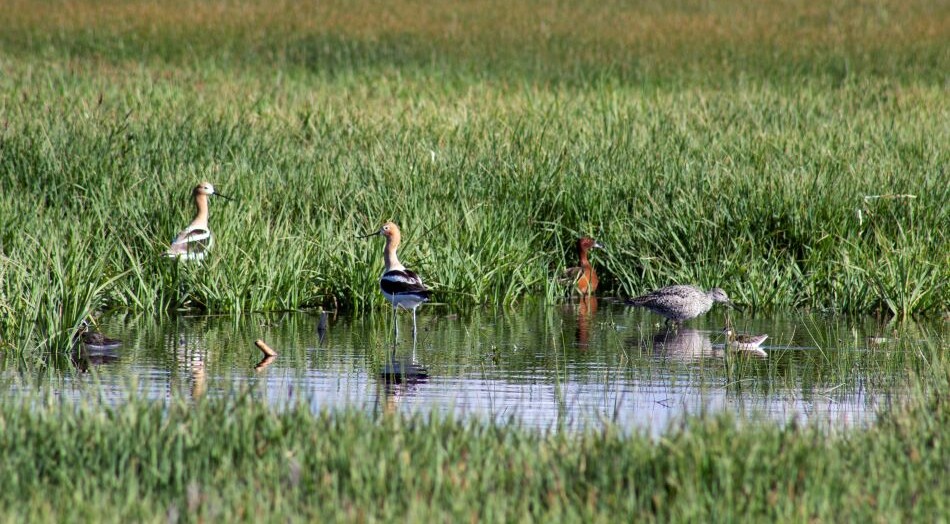
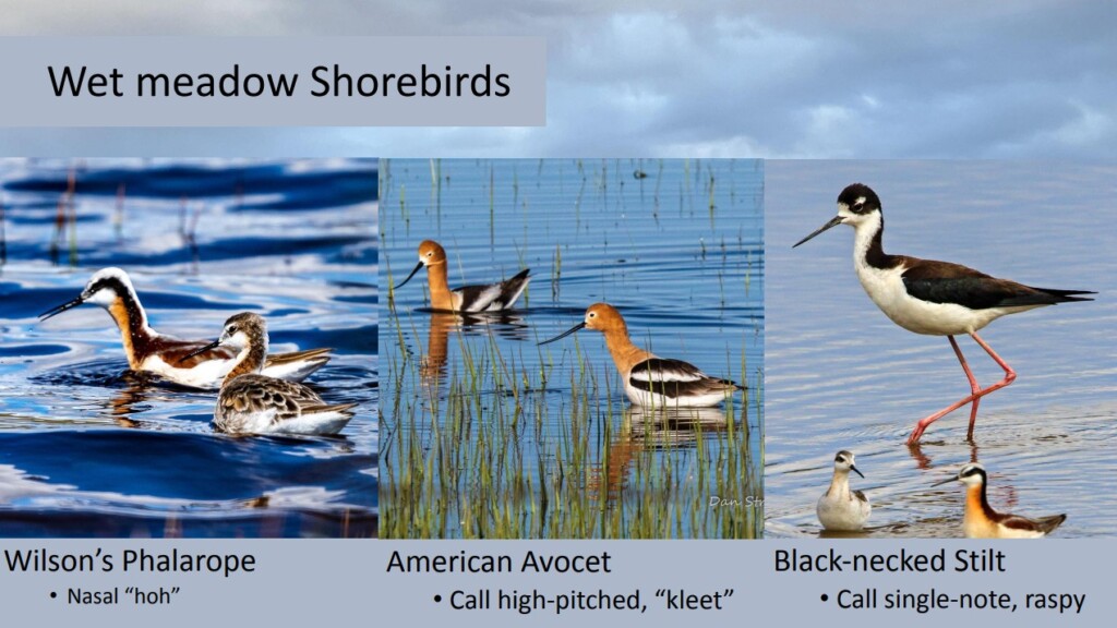
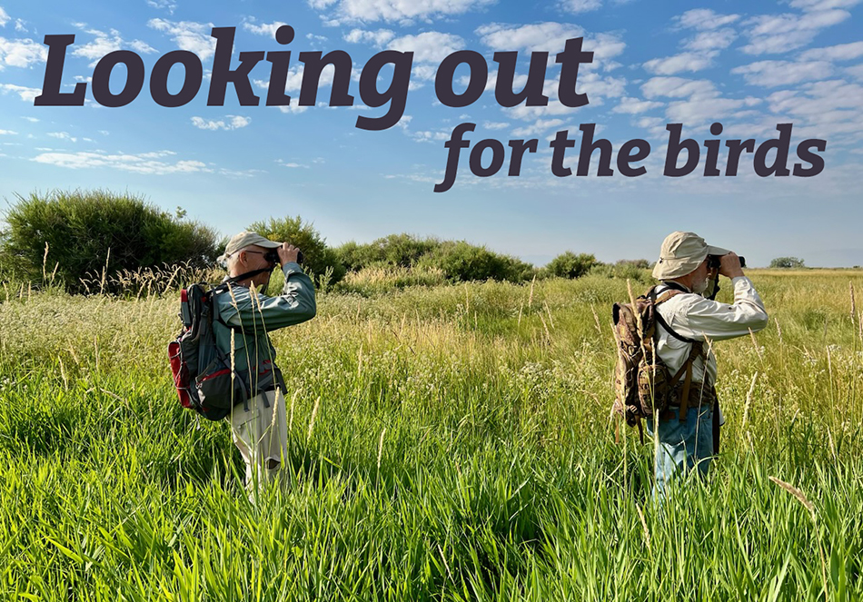
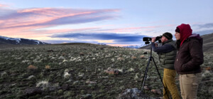
Looking out for the birds
Volunteers help guide restoration plans with wetland bird surveys.
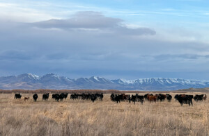
Virtual fences mooove cows online
Virtual fence is a new technology that can help land managers maintain wildlife connectivity in permitted grazing areas.