
For love of a river
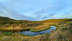
One man's connection to a stretch of the South Fork Crooked River has aided in the river's restoration and conservation.
Read More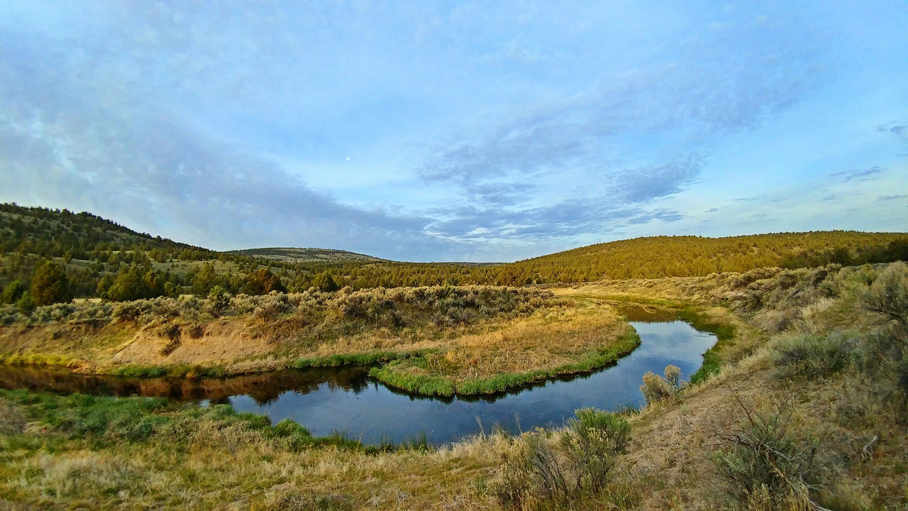
One man's connection to a stretch of the South Fork Crooked River has aided in the river's restoration and conservation.
Read More