
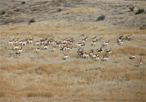
Keeping it connected
Closing the unnatural gap between wildlife refuges opens doors for pronghorn.
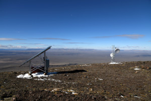
Watching for wildfires
A live camera on Beatys Butte helps wildfire efforts in the high desert.
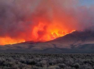
Neighbors helping neighbors fight fires
Rangeland Fire Protection Associations protect the high desert and each other.