
Sometimes a place claim us, and its survival becomes a matter of the heart. This is the story of a man and a river, and how a 10-year love affair helped conserve a place sure to work its magic on future generations.
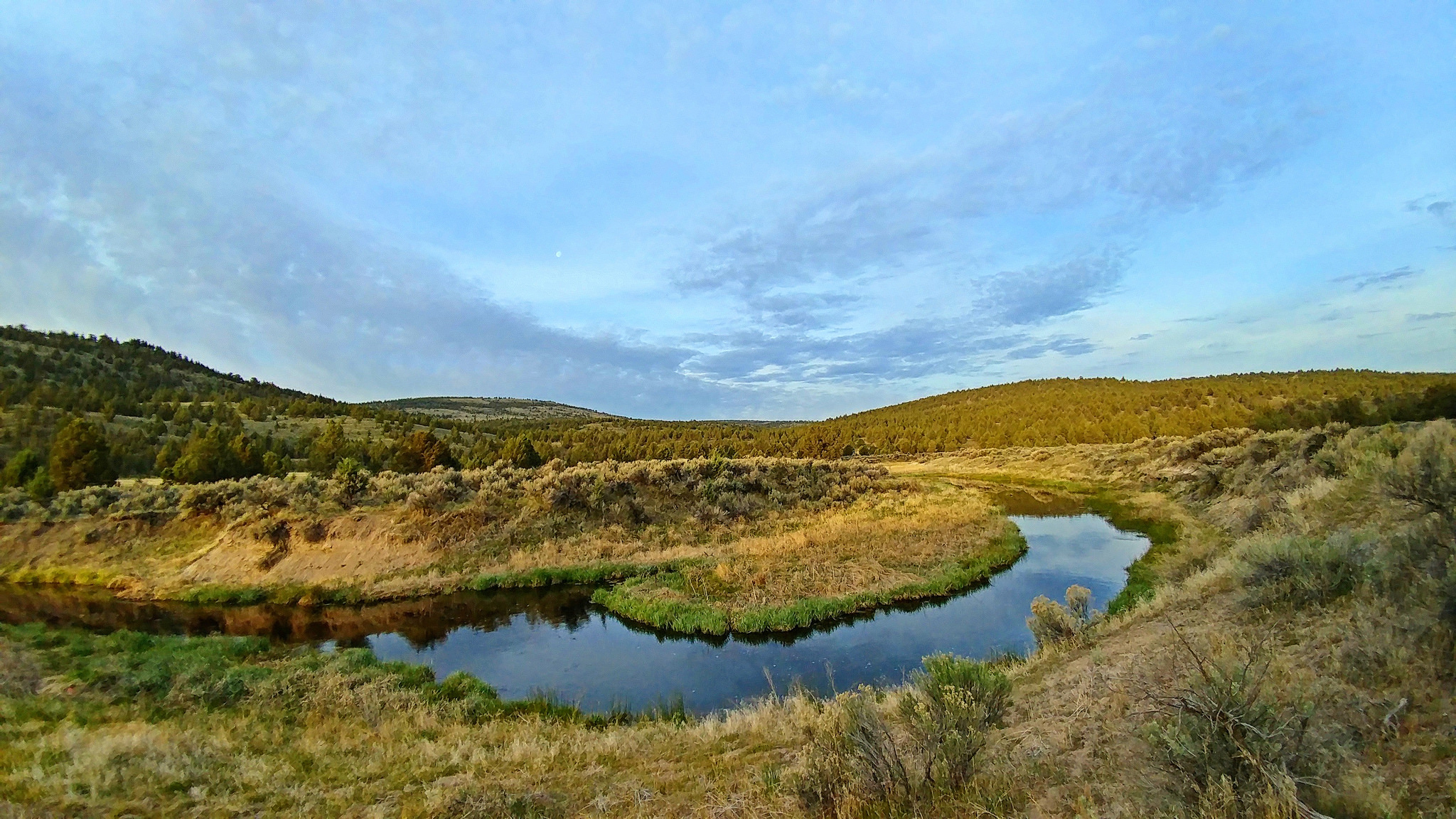
A wisp of a river
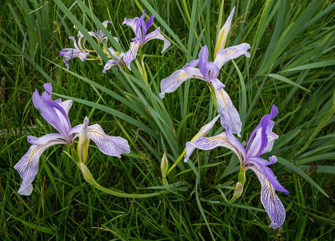
The South Fork Crooked River is a vibrant thread of green in a dry desert basin. It begins east of Hampton Butte in Deschutes County and flows freely to the north. After 76 miles, it joins the Crooked River in Crook County. Once teeming with salmon, steelhead and beaver, the South Fork is still home to native redband trout and draws Rocky Mountain elk and mule deer. The scenic basalt canyons, carved by the river over thousands of years, offer grand views and habitat for songbirds and raptors. In spring, wildflowers bloom along its banks, and lucky visitors might spy a Great Blue Heron.

A man's commitment
The beauty and solitude of the South Fork draws Steve Williams back to its banks each year. Steve, a long-time volunteer with partner organization Oregon Natural Desert Association, has spent the last decade slowly bringing the river back to health. Working alongside other volunteers, Steve considers his part in the collective restoration “a privilege.” In the spring and fall, he spends days digging and planting to help restore the riparian zone, noting the promising changes to the river each time he returns.
A golden opportunity
After pouring so much of his passion into this special place, Steve became instrumental in saving a key stretch of the river he loves. Over the course of his visits, Steve became acquainted with a local landowner with property along the South Fork. This connection prompted the landowner to reach out to ODLT in 2019 with an offer to sell an 80-acre parcel straddling the river. A rare in-holding, this private parcel had once been worked as ranch land and was now located within the South Fork Wilderness Study Area. Presented with this unique opportunity, Steve said, “it was a very easy decision for me to lend my support.” He made a leading donation towards the Land Trust’s acquisition of the property and was joined by other generous donors who supported the project. Thanks to their commitment, this area of the South Fork Crooked River will be forever wild.
Feature photo by Aaron Tani